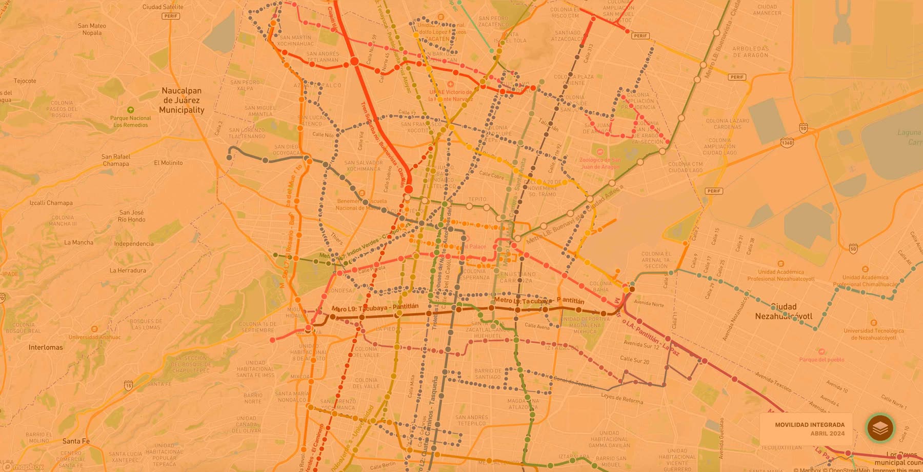
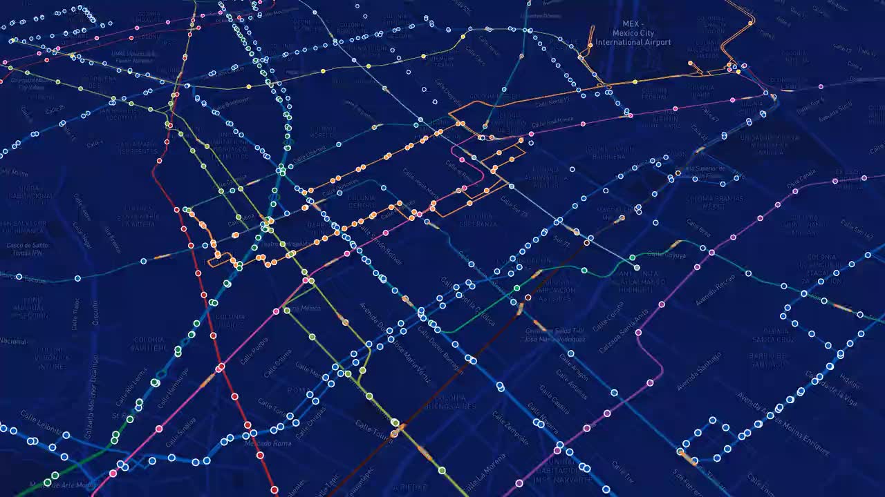
Wikiando · the Megalopolis transit network © Mapbox © OpenStreetMap
Service · Geospatial data

Maps, mobility and geospatial data.

We turn geographic data into maps, dashboards and apps that help millions get around their city better.

We've built with ITDP México CDMX - SEMOVI Bicitekas Mobimeo The Trainline
What we build

From open data
to maps people use.

Digital cartography and territorial analysis, backed by projects in production.

Interactive maps and routes

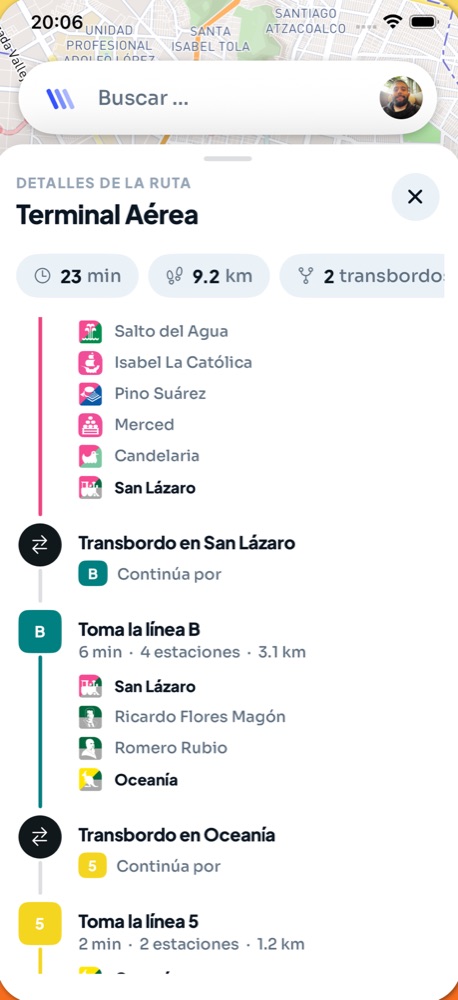
Public transit, routes and points of interest on a fast, clear map, on the web or inside your app.

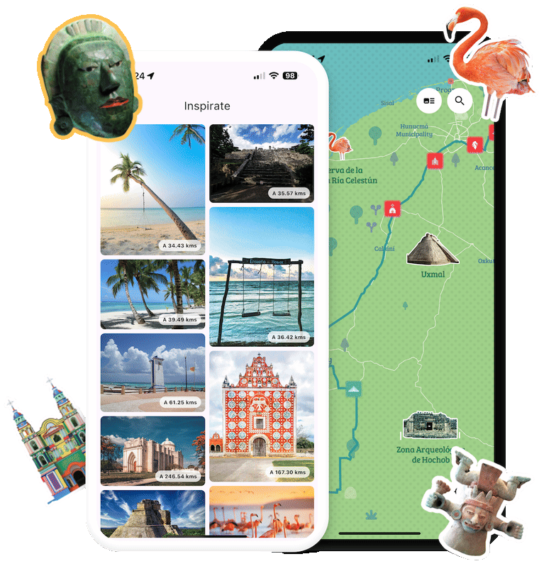
E.g. Wikiando · Tren Maya App

Dashboards and analytics

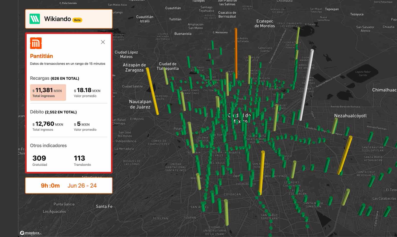
Mobility data visualized on the map to understand the city and make better decisions.

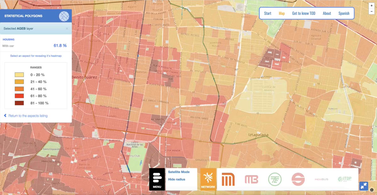
E.g. Wikiando Analítica · DOT DF

Risk and road-safety maps

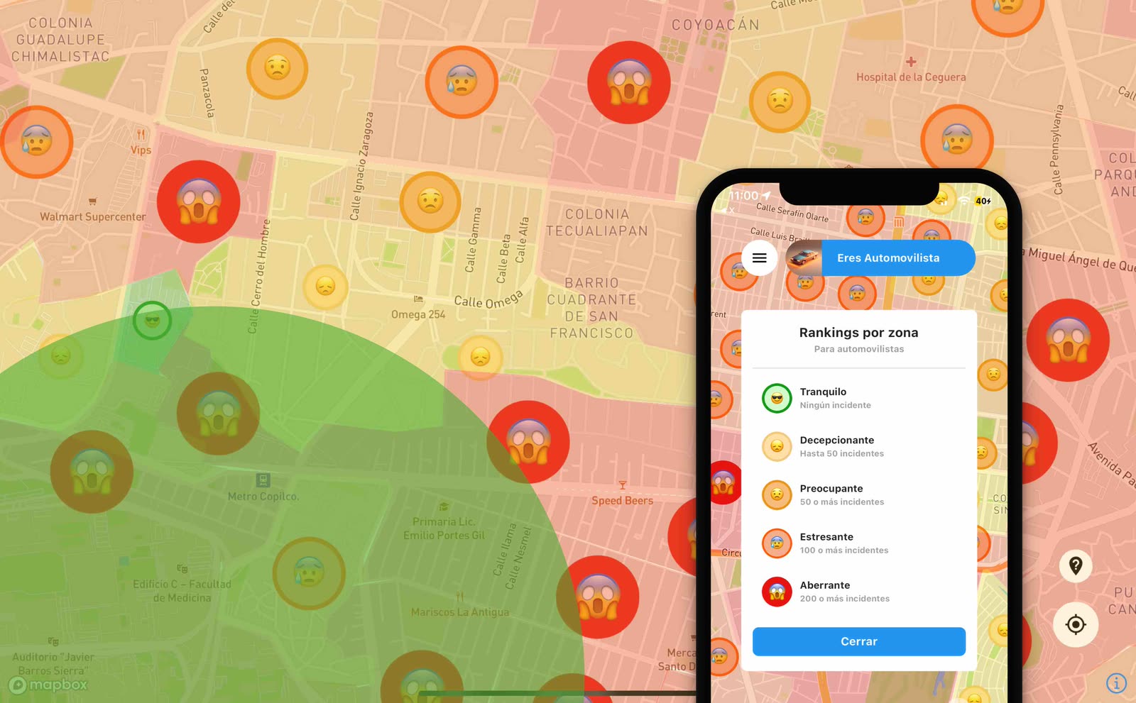
Street-level incidents for pedestrians, cyclists, motorcyclists and drivers.

E.g. Barrios CDMX

Custom cartography

Your own map styles, animated or for screens, that make the city yours.

E.g. Maps in Motion · Mapitas
Work

Maps in production.

Mobility · Web and app

Wikiando Mx

The most complete interactive map for getting around the Megalopolis: routes, public transit and open data in a single app.

MegalopolisPublic transitOpen data
Visit wikiando.mx ↗
Wikiando Mx
Barrios CDMX Road safety · App Barrios CDMX The first street-level risk map of Mexico City. Wikiando Analítica Data · Web Wikiando Analítica Public transit transactions, visualized on the map. DOT DF Data · Video DOT DF An earlier urban-data project, told on video.
How we work

Data and territory first.

Open dataTransit routesIncident reportsMapboxPostGIS
01

We gather and clean the data

We start from geospatial and open data, or yours, to understand the problem before drawing the first map.

02

We design the map or dashboard

We choose what to show and how, so people understand their city at a glance.

03

We publish it

On the web, inside your app or as an internal tool for your team.

FAQ

What people always ask.

What data can you work with?

Government open data, citizen reports and your organization's own databases.

Can you add a map to our app or site?

Yes, as a web component or inside iOS and Android apps.

Do you work with public institutions?

Yes: we've built with SEMOVI and ITDP, and with mobility companies like Mobimeo and The Trainline.

How much does a mapping project cost?

It depends on the data and the scope. Tell us about your project and we'll send a written quote.

Other services
Product developmentMobile and web app development See the service → FankitEvent microsites Discover Fankit →

Shall we build something people use every day?

Start a project →